bousquet19;c-67094 wrotebousquet19;c-67040 wroteGreat topic Andy, and welcome to Snowjournal! …
[snip] …
Will post photos of my album setup with trail maps and patches next.
Woody
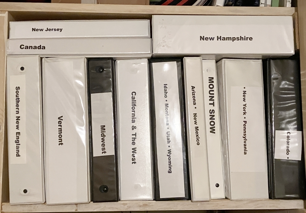
Photo 1. Here are my binders of ski trail maps, brochures, patches, etc. This is my entire set of binders. They're divided geographically; for example, I have a binder for Maine, 2 binders for Vermont, a binder for the Southeast + Quebec, a binder for patches from places I've skied, a binder for Bousquet Ski Area, and so on.
It took me a long time to figure out a layout of pages - and find the plastic sleeves to hold the contents - that was varied and did the job. The key for holding brochures turned out to be plastic postcard pages, but not the common 4-cards-per-page layout. I found a 3-pocket page that has worked well (see Photos 3 and 4).
My wife says that this is one of my collections she's OK with, because it takes up relatively little space in the house (and, I'd add, it collects relatively little dust).
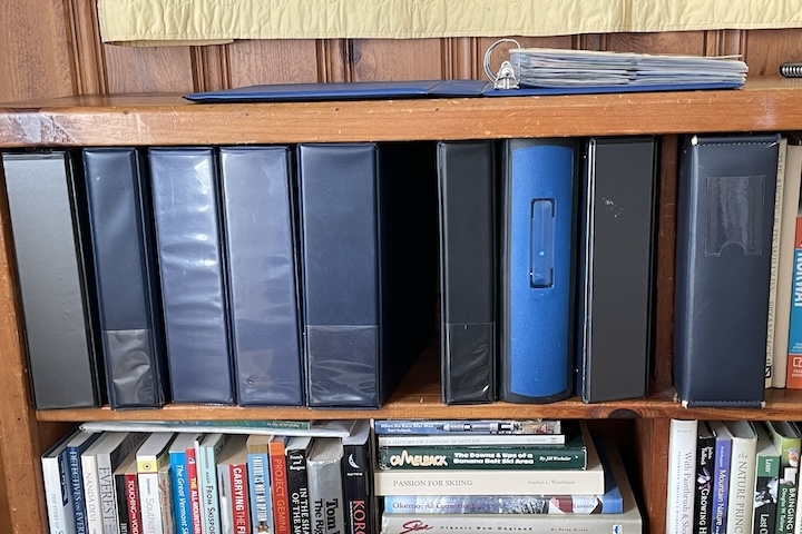
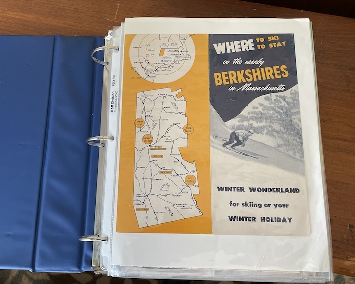
Photo 2. I usually start each album with a cover - that is, a full-page plastic page protector containing a brochure that relates to the subject of the binder's contents. A neat old Berkshires map does the trick in this case.
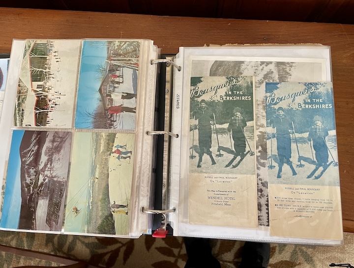
Photos 3 and 4. Most of my trail maps and brochures go into these 3-sleeve plastic pages for postcards. Four standard-size maps/brochures can be displayed per page if you place the brochures back-to-back, but sometimes the backs are interesting so I place only 2 brochures in a page. The top pocket can hold a postcard (as in this case) a patch, an old ski ticket, or sticker.
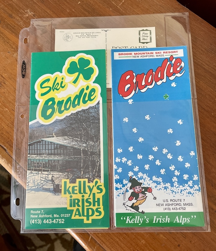
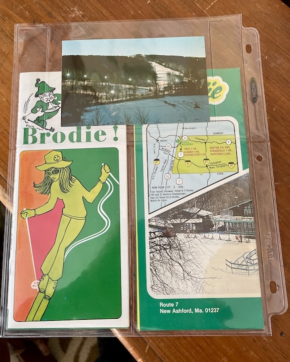
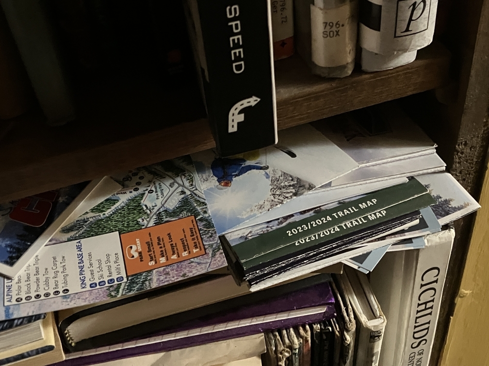
Photo 5. I display some maps unfolded. This approach can highlight interesting graphics or unusual trail layouts, and it adds variety to the album as someone views page after page.
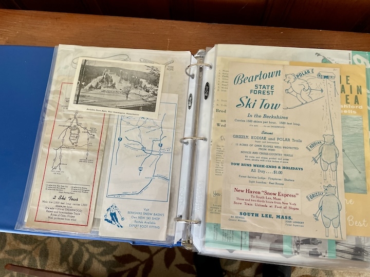
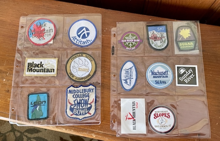
Photo 6. Pages for patches: a 6-pocket page for large patches, and a 9-pocket page for smaller patches. The 6-pocket pages are sometimes used for the large Girl Scout and Boy Scout patches that commemorate special scout events. Sports card collectors will recognize the 9-pocket pages.
Photos 7 and 8. For interest, I try to mix different types of items: a page of maps, then a page of patches.
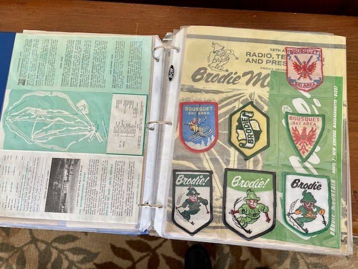
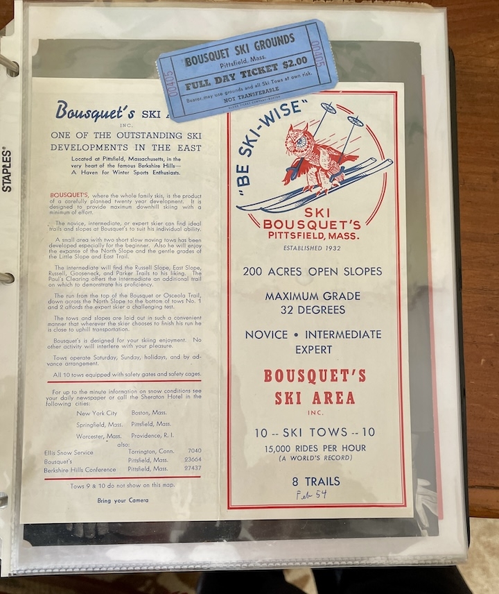
Photo 9. Some oldies from Bousquet Ski Area, originally Bousquet Ski Grounds and today Bousquet Mountain). Many are those that my family saved.
Virtually all of the old (c. pre-1970) trail maps I've collected from eastern North America are included in the binders shown in Photo 1. The maps are fragile but protected fairly well by the plastic page sleeves. For me, this setup allows me to enjoy what I've collected and to share them with others who might be interested ... or at least those friends and relatives who will tolerate my yapping about them for a few minutes.
Like others who've posted in this thread started by ajfrazer202, I continue to pick up maps from ski areas I visit each season. A few distinctive ones - cool graphics, new lifts, an area's 50th anniversary - end up in the binders, but space limitations cause me to relegate the others to boxes in the cellar.
Anyone else willing to share their ideas and/or collection photos?
Still skiing,
Woody